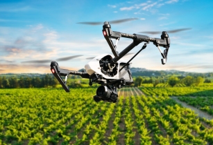
DroneDeploy has launched Fieldscanner, an enhancement for its app, which provides in-field, real-time offline maps for improved scouting
The DroneDeploy app allows users to create flight plans for drones for collecting information on specific tasks. The new Fieldscanner enhancement allows the software to create a low-resolution map that a scout can use right away to track crop issues. Fieldscanner is a real-time drone mapping tool for immediate in-field crop analysis. It instantly captures a 2d, low-resolution field map as the drone flies, enabling farmers to make crop management decisions on the spot. This makes it easier than ever to quickly identify crop stress and address problem areas before they spread.
“Growers have been asking for real-time, in-field mapping for a long time, and we’re excited to be the first company to deliver a solution,” said Mike Winn, CEO at DroneDeploy.
Poor connectivity and slow internet speeds have long posed a challenge for mapping in remote areas. To overcome these issues, Fieldscanner, which is designed for use in fields, can operate entirely offline, with no need for cellular or data coverage. Fieldscanner uses DroneDeploy’s existing automatic flight planning for DJI drones and adds local processing on the drone and mobile device to create a low-resolution Fieldscan as the drone is flying, thereby eliminating the need to process imagery into a map on a computer after the flight.


