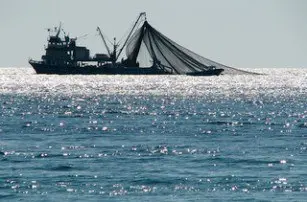
Ghana and Liberia’s Fisheries Commissions have employed SuperGIS Desktop 3.1 and SuperGIS Spatial Analyst 3.0 in order to establish an advanced system of analysing and managing fishery data
Fishing is one of Africa’s strongest economic sources and, as a result, an advanced GIS system in which to effectively plan and conserve marine resources for sustainable development has become a priority to local governments.
With the acquisition of the new system, the Fisheries Commissions in Ghana and Liberia will now be able to capture, manipulate, and analyse the surrounding geographical distributions and marine living resources, according to the company behind the technology.
Additionally, customisation tools in SuperGIS Desktop 3.1 allow administrators to develop a custom GIS platform for spatial data management including bathymetry, piers, and disaster prevention.


